

The Kuju mountains are located along the Yamanami Highway that extends from Beppu to Aso as part of the attractive Trans Kyushu Route. The two main trailheads for the Kuju mountains are located at the Makinoto Pass and the Chojabaru Visitor Center, which are both along the popular road.
Of the park's two main trailheads, the Makinoto Pass is located at a higher elevation and is closer to the main mountain peaks, while the Chojabaru Visitor Center has informative displays about the area and more facilities. Depending on the trailhead and route taken, a round trip to Kuju's main peaks typically takes between four and six hours.
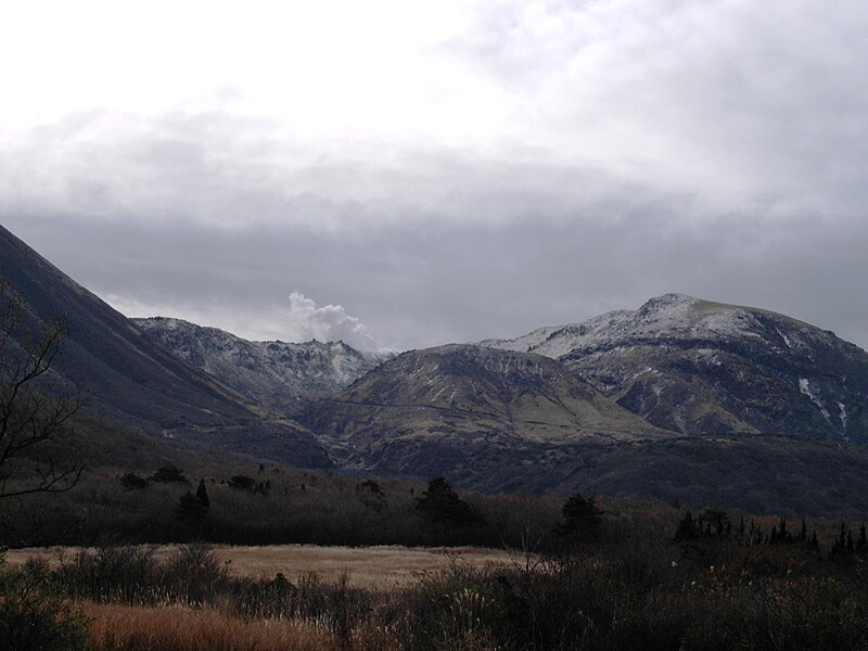
The park's highest point is the Nakadake (中岳) peak, which stands at 1791 meters. The nearby Kuju (久住山) peak stands slightly shorter at 1786 meters and is popular for its fantastic views. Another popular peak to visit is Hossho (星生山), which has steam emitting vents along its slopes. The peaks of the Kuju mountains are usually covered in snow from December through March.

Photos:
"Makinoto Pass - 01" by JKT-c - Own work. Licensed under CC BY 3.0 via Commons - https://commons.wikimedia.org/wiki/File:Makinoto_Pass_-_01.jpg#/media/File:Makinoto_Pass_-_01.jpg
"Kuju Mountains 03" by Reggaeman - Own work. Licensed under CC BY-SA 3.0 via Commons - https://commons.wikimedia.org/wiki/File:Kuju_Mountains_03.JPG#/media/File:Kuju_Mountains_03.JPG
"Kuju04" by Mass Ave 975 - Taken by Mass Ave 975. Licensed under CC BY-SA 3.0 via Commons - https://commons.wikimedia.org/wiki/File:Kuju04.JPG#/media/File:Kuju04.JPG


it is a beautiful view
ReplyDelete